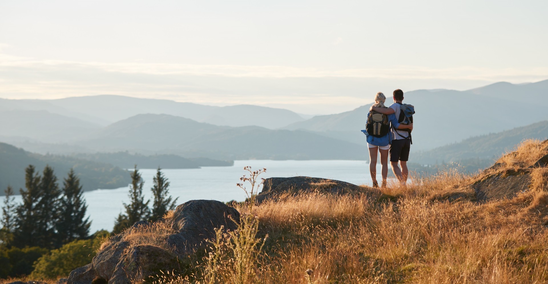
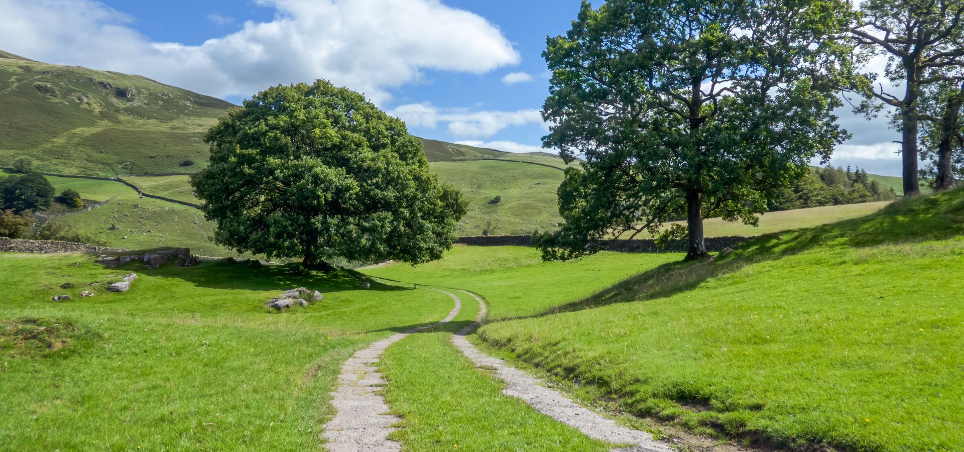
Welcome to our guide to the best Lake District hikes. Whether you’re a seasoned hiker or planning a fun family day out, we’ve curated eight trails for all abilities. From peaceful strolls to challenging treks, each offers a unique way to explore this breathtaking region on foot, some of these routes are great biking trails if you decide to bring your bikes or hire them. So, lace up your boots and explore the beauty of the Lake District!
Scout Scar – Easy
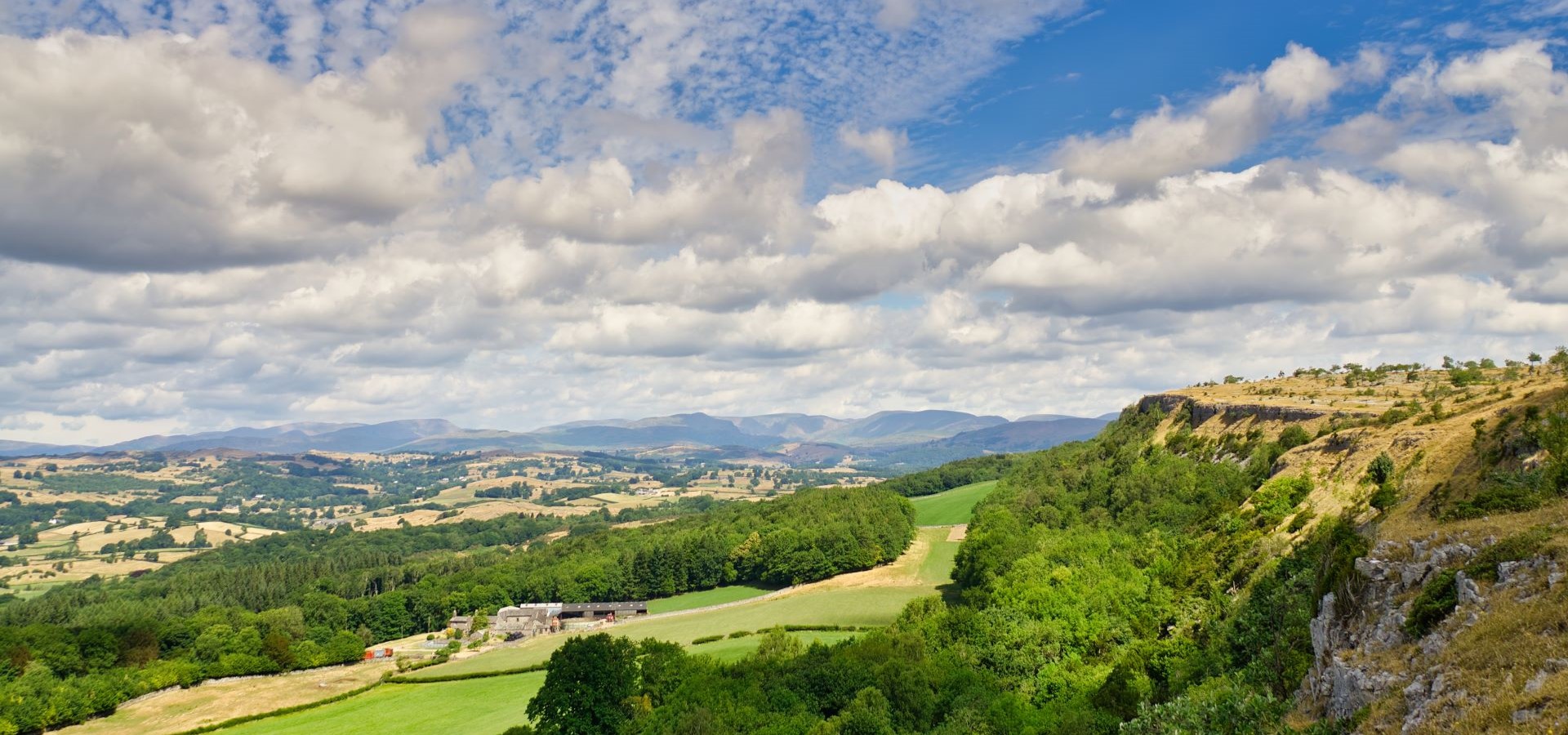
Scout Scar, also known as Underbarrow Scar, is an awe-inspiring hill situated to the west of Kendal. Towering at a height of 771 feet, this limestone cliff offers breathtaking views of the surrounding Lake District and the Lyth Valley. The Scar has a variety of different-length trails – if you are looking for a short walk with your kids, there are various car parks nearby, meaning it is accessible to people looking for a shorter stroll with great views!
Lowther Castle – Easy
Nestled in the heart of the Lake District, Lowther Castle is surrounded by over 100 acres of beautiful, ancient gardens. If you are looking to make a day out of it with the family, these gardens hold one of the UK’s largest adventure playgrounds and have a great café to finish the trip off!


Whether you’re a seasoned hiker or just looking for a leisurely stroll, Lowther Castle Estate offers a range of trails, from a short walk around the grounds or as far as the Lowther Castle Loop, a 12 km circular walk exploring the Castle grounds and the village of Askham, with its tranquil woodlands and stunning views.
View our Penrith & Eden Valley Properties
Windermere to Wray Castle – Easy
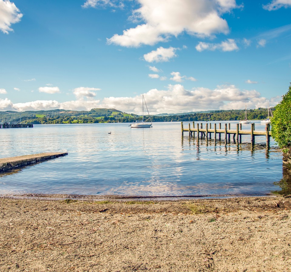
Windermere is home to the UK’s largest Lake, meaning there is a whole range of different paths and walks along its shoreline! One of my favourite walks around the Windermere area would be to Wray Castle. From the Ferry House or Harrowslack National Trust Car Park, follow the scenic track along the lake leading up to the Castle.
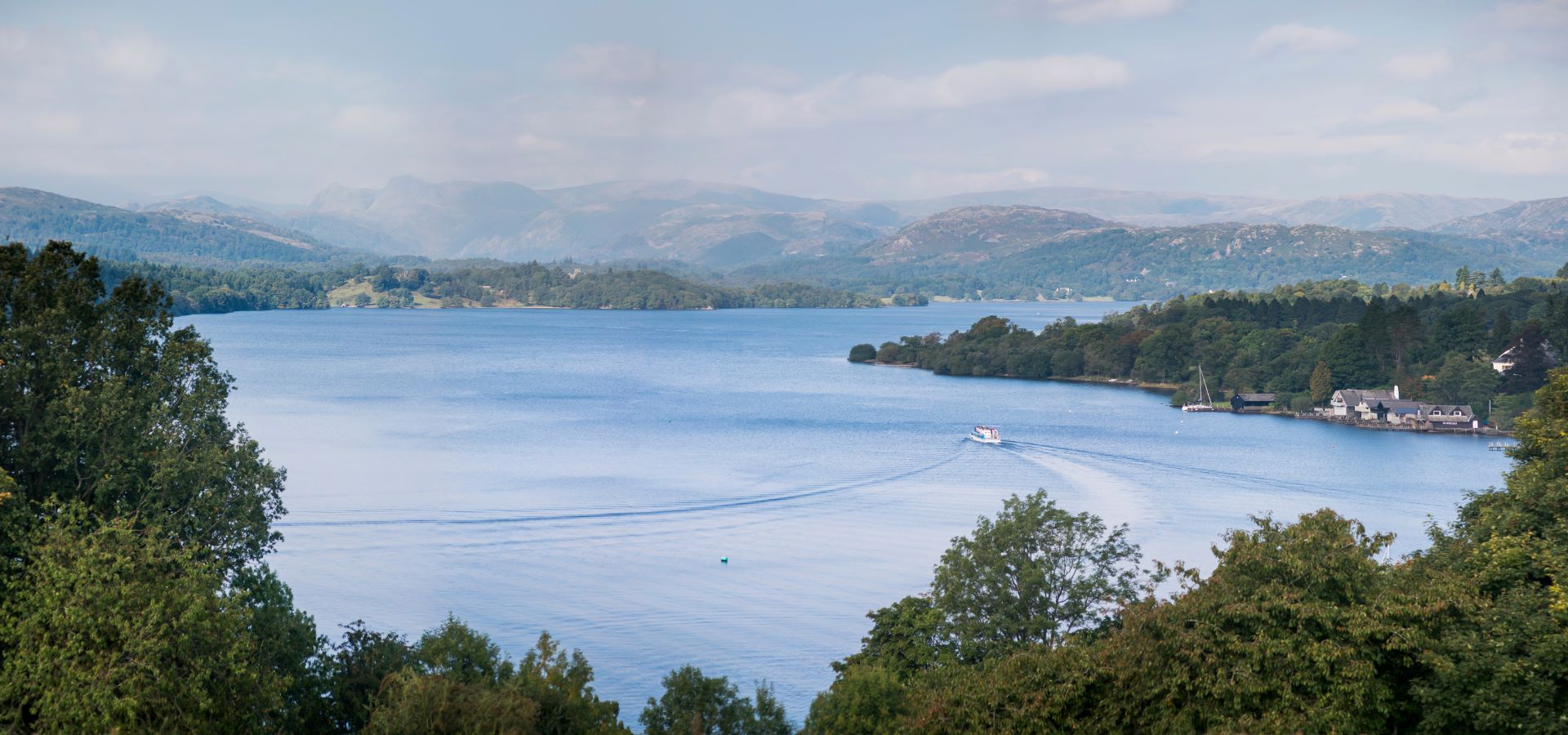
This walk is roughly 7.3 km long, and once you’re there, you can explore the castle, indulge in tea & cake, and even take part in some of the various experiences they provide. This flat walk is ideal for the entire family, and the lake cruise service ensures a fast and smooth return to Windermere if you don’t fancy the walk back!
View our Windermere Properties
Potter Tarn & Fell, and Gurnal Dubs – Moderate
Venture into the Lake District, and discover the 10.9 km circular trail encompassing Potter Tarn, Potter Fell, and Gurnal Dubs. This moderately challenging hike typically takes about 3.5 hours to complete, making it a popular choice for hikers, runners, and walkers alike. Despite its popularity, the trail offers moments of solitude during off-peak times.
Potter Fell is home to several tarns, with Gurnal Dubs and Potter Tarn standing out as the most prominent. This trail provides a unique opportunity to immerse yourself in the natural beauty of Cumbria, offering an experience that’s both invigorating and peaceful. If you’re yearning for a pint….or two post-walk, making a pit stop at the Hawkshead Brewery in Staveley is an absolute must!
Top tip from Julie in the office – Take your swimming costume to Gurnal Dubs and have a swim!
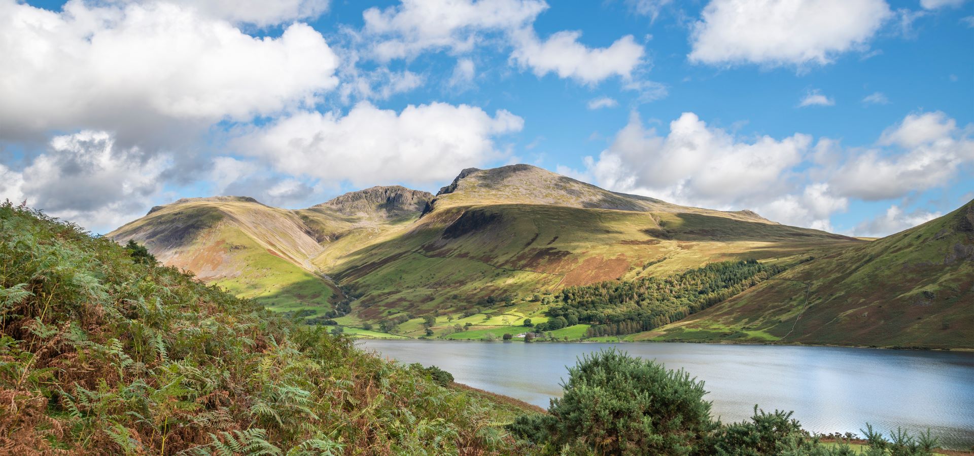
Rydal water and caves circular – Moderate
Surround yourself with the breathtaking beauty of Cumbria with a trek along the Rydal Water and Caves circular trail. This 4.5 km trail near Grasmere is moderately challenging and typically takes about 1.5 hours to complete. Nestled in the core of the Lake District, Rydal Water is connected to the expansive Grasmere Lake by the River Rothay.


One of the main attractions of this trail is the Rydal Cave. This large cavern, perched on the northern flank of Loughrigg Fell, offers a commanding view of Rydal Water. Venture through the cave entrance via stepping stones, and if you’re lucky, you might even spot some small fish! This trail provides great views of Rydal Water and its surroundings. At the end of your walk, head over to the Badger Bar for lunch. This quaint old pub brings charm with its log fires, real ales, and delicious food, creating a fantastic atmosphere!
View our Ambleside & The Langdales Properties
Neaum Crag to Ambleside – Moderate
Immerse into the heart of the Lake District on the Neaum Crag to Ambleside walk. This 8.7 km out-and-back trail near Skelwith Bridge is a haven for nature lovers and fitness enthusiasts alike. Though it can be moderately challenging, the satisfaction of completing it in an average time of 3 hours and 12 minutes is truly rewarding.
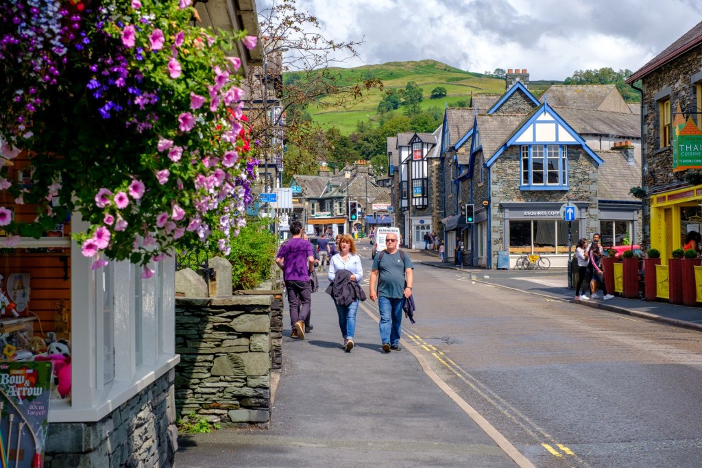
Once you reach Ambleside, you will be spoilt for choice with its array of restaurants. From cosy pubs to quaint cafes, Ambleside offers a range of delights that are sure to refuel you mid-way through your walk. So why wait? Lace up your boots, pack your backpack, and set off on the Neaum Crag to Ambleside walk!
View our Neaum Crag Properties
Scafell Pike – Hard
Embark on an exciting journey up England’s highest peak, an 11.6 km circular trail located near Wasdale, Cumbria. The quickest way to Scafell Pike is via Brown Tongue from Wasdale, but it offers a limited view of the area. For a more thorough exploration, consider the longer ‘Corridor Route’ from Sty Head, which travels over the mountain’s western flank.
Scafell Pike, standing tall at 3209 feet, makes it a highly sought-after destination for climbers and tourists alike. For those who dare to scale its heights, the sense of accomplishment when reaching the summit is truly unparalleled.
View our Properties Near Scafell Pike
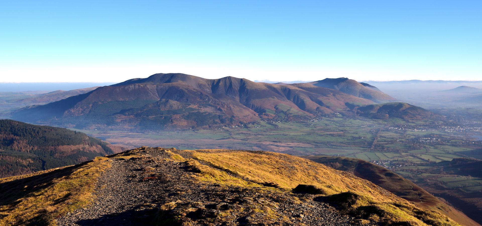
Blencathra via Sharp Edge – Hard
The Blencathra via Sharp Edge trail, a 14.6 km circular hike near Threlkeld, Cumbria, is known for its challenging terrain and popularity among seasoned hikers. The highlight, Sharp Edge, is a thrilling ridge that requires careful navigation. Starting from Scales, the trail ascends to Scales Tarn, traverses Sharp Edge, and descends via Halls Fell Ridge.
Along the way, hikers are treated to panoramic views of the Lake District. Please note that this route is considered challenging due to its steep sections and scrambling requirements. It’s recommended for experienced hikers and is best attempted in good weather conditions. On average, it takes around 4 hours to complete this hike.
View our Properties Near Blencathra
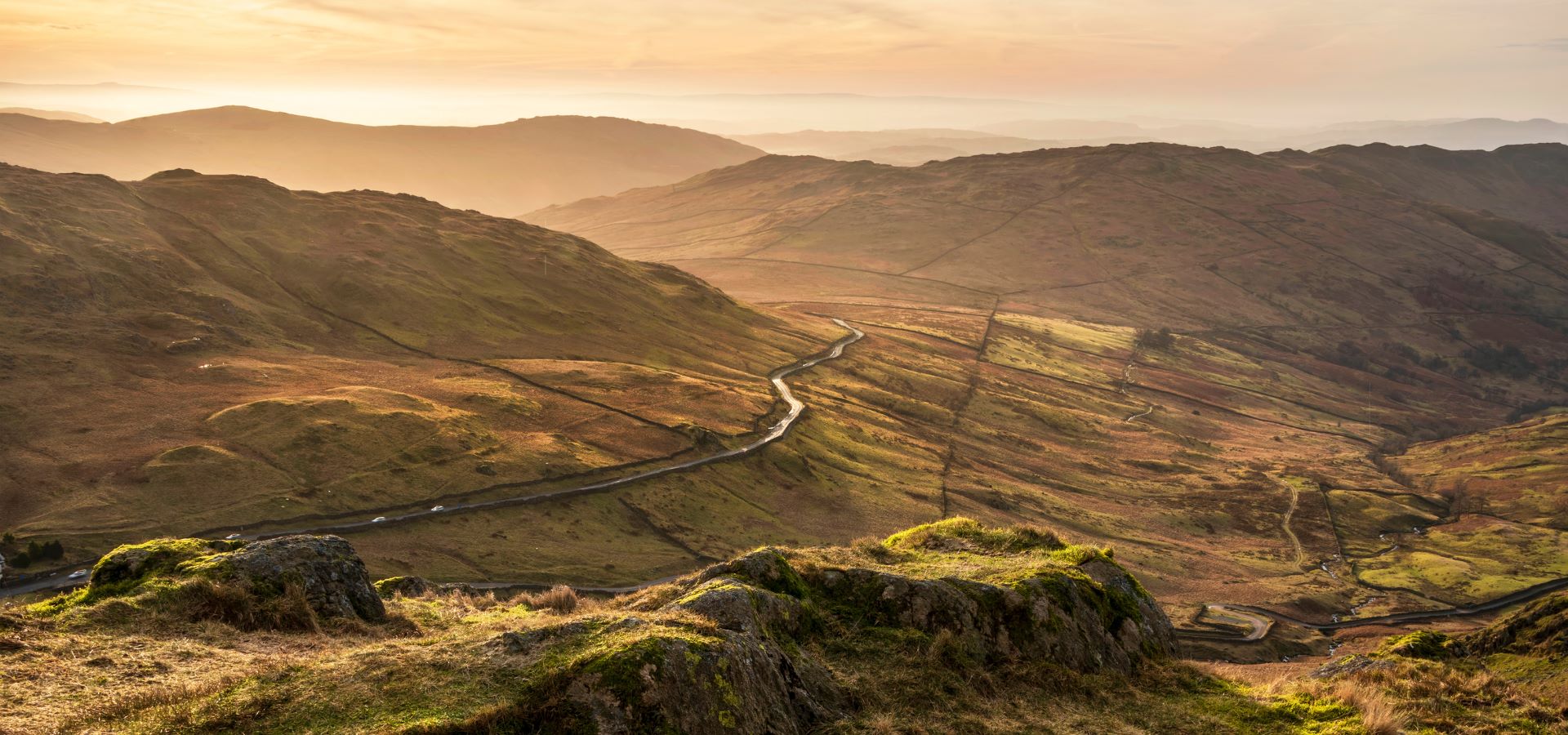
Red Screes peak from Ambleside – Hard
The Ambleside to Red Screes Peak circular route is a popular hiking trail located in The Lakes. This challenging route spans approximately 10.9 km and, on average, takes around 4.5 hours to complete. The walk starts from the charming town of Ambleside and ascends to the Red Screes Fell, offering spectacular views over the Lake District National Park.
The trail is rated difficult due to its steep ascent and sometimes rugged terrain. However, it’s well worth the effort for the panoramic views at the summit of Red Screes, standing at a height of 776m. For those wanting to extend their hike, the full ridge of this mountain runs for almost 7km, making it an enjoyable challenge for seasoned hikers!